HÖGA KUSTENLEDEN
ȰʑQʝə Y͋ʁOGVʋʢɃHɢ
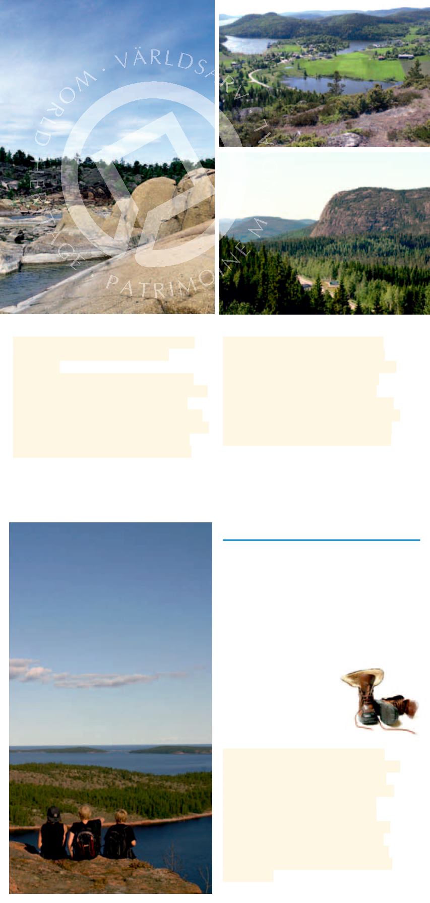
Den 130 km långa vandringsleden
är uppdelad i 13 etapper som har
något att erbjuda alla smakriktningar.
Ingen annanstans i Sverige kan man
vandra så högt, så nära kusten. Leden
sträcker sig från Högakustenbron i
söder till Varvsberget i norr, och vid
nFSB BW
etappmålen kan man
övernatta. Vandringsguide
mOOT BUU LÈQB
.
)ÈHB ,VTUFO XBT JODMVEFE JO UIF
6/&4$0 8PSME )FSJUBHF -JTU
in 2000.
It is the geological uplift of the land
that makes the area unique. Nowhere
else in the world has land risen to
such an extent since the last Ice Age.
The relative height increase is as much
as 286 m above sea level and the
area is still rising by 8 mm per year.
This has resulted in fascinating
phenomena such as till-capped
IJMMT SVCCMF mFMET BOE FYDFQUJPOBM
caves. The World Heritage Site
stretches from the High Coast
Bridge in the south to Skagsudde
in the north. Learn more about the
World Heritage at Naturum Höga
Kusten at the foot of Skuleberget.
5ISPVHI B 8PSME )FSJUBHF 4JUF
This 130 km walking trail is divided
into 13 stages. Nowhere else in
Sweden can you wander so high,
so close to the coast. The trail
stretches from the High Coast
Bridge northward to Varvsberget,
and there is strategically placed
overnight accommodation along
the way. A trail guide is available
in English.
9


